Drives

Scenic

Nature Drives

Shearing Shed

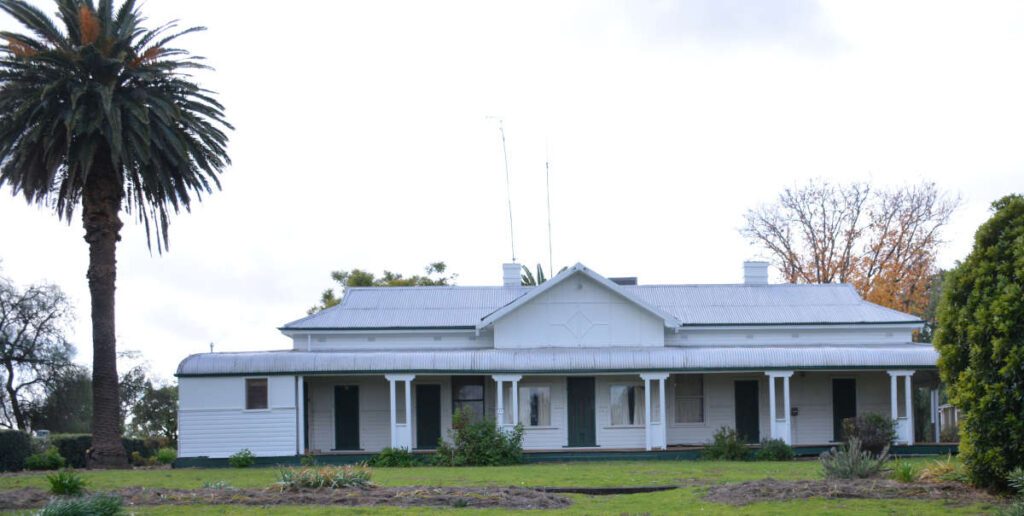
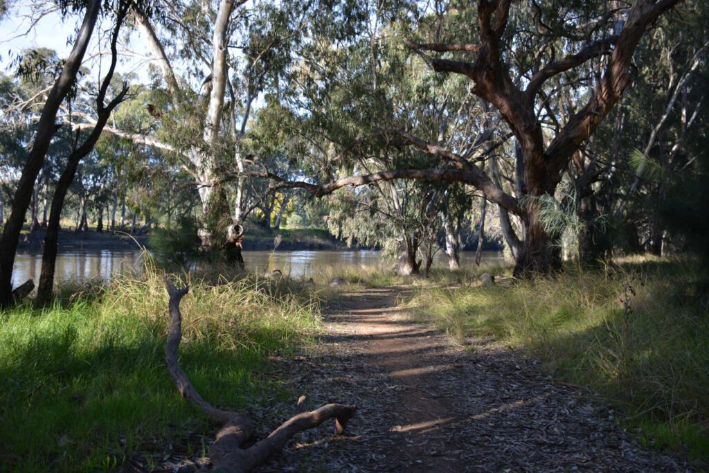
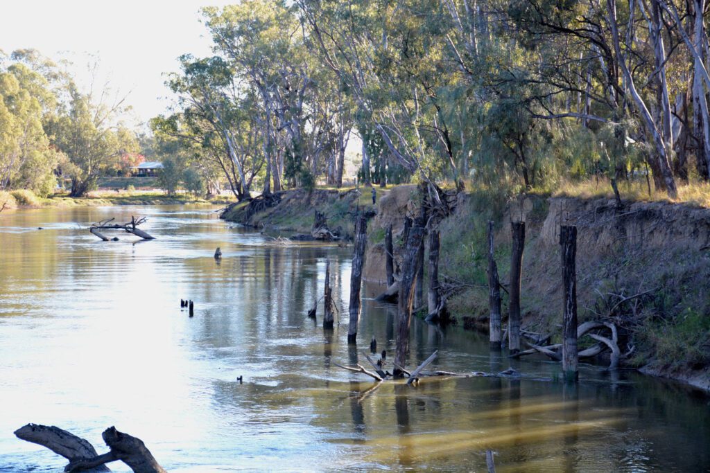
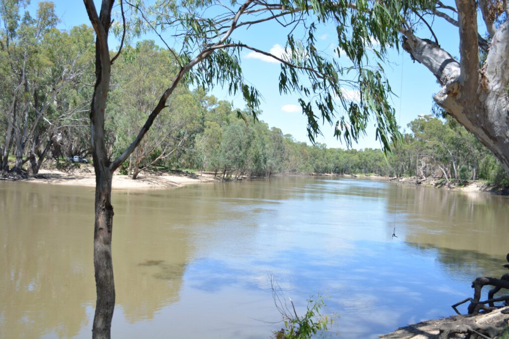
Toganmain Station, located between Darlington Point and Carrathool on the southern side of the Murrumbidgee River, was one of the principal grazing properties in the Riverina. With about 13 miles of river frontage the station was first established by NSW’s Colonial Secretary Sir Alexander Macleay whose initials gave Toganmain its distinctive AML brand.

Toganmain’s 167,000 acres were purchased by Thomas Robertson Senior in blocks commencing in 1867. It would remain in the Robertson family until 1988.

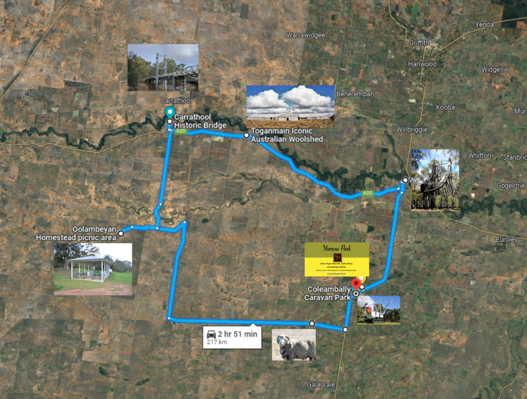
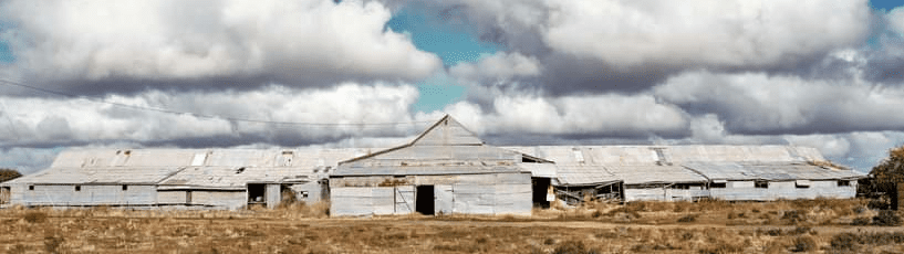
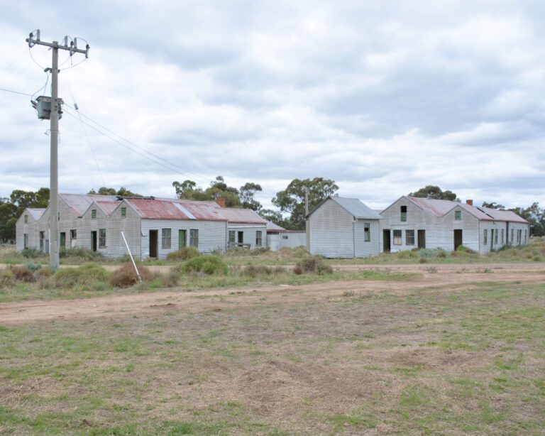
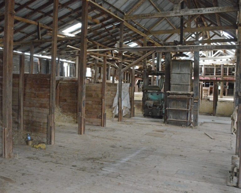
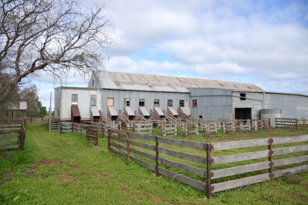
The Toganmain wool clip had an excellent and enviable reputation for both quality and style in Australian and English wool trade circles. Toganmain woolshed at 240 by 80 feet is the largest remaining woolshed in the Riverina region of NSW.

It originally boasted a 110 blade stand. So it was not unusual to have 60 shearers engaged, along with rouseabouts, cooks and shearing hands, as well as another 30 men employed on contract to work at wool scouring.

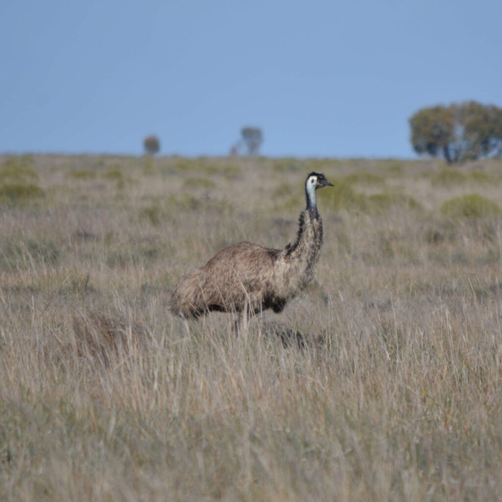
In September 1876 Toganmain recorded a total of 202,292 sheep shorn by 92 blade shearers, an Australian record never to be beaten.

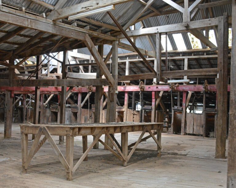
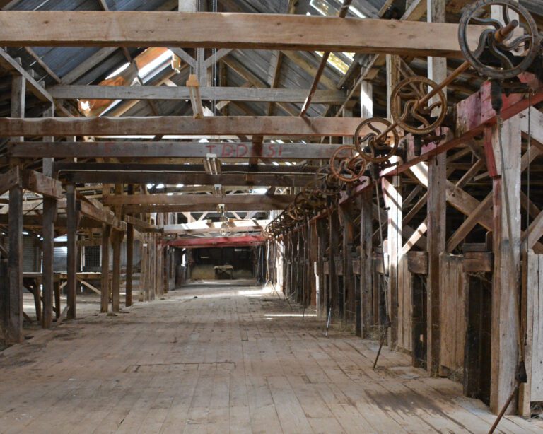
In 1887, Wolseley’s shearing machine was demonstrated in the Toganmain woolshed. This established once and for all the reputation of the new machine, proving it to be a sound working tool destined to increase the speed and ease of shearing. In 1888, 15 Wolseley machines were installed at Toganmain, supplementing 65 manual blade stands.

Later on the woolshed board was reduced to 55 ‘Wolseley’ machine stands. Ultimately these would be replaced by 40 diesel driven stands.

By 1891 Toganmain was a massive property – over 300,000 acres in size. With Thomas Robertson as manager, a horse tramway connected the woolshed to the wool stores and wool scour beside the Murrumbidgee.

In that year, 218,000 sheep were shorn at Toganmain.  

Expansion was only halted by the great drought of 1895-1903.

When Thomas Robertson died in 1904, his 22-year old youngest son John Seymour Robertson took over management. Despite the recent drought, the property still held 100,000 sheep. In 1910 John Seymour sold off 46,259 acres to pay for his father’s probate.

.  In 1940 John Seymour’s son and daughter Graham and Rua took over management from their father, but Graham’s time there was short-lived. In 1942, as a WW2 pilot, he was killed over the Pacific. John Seymour Robertson once again took over the management until his own death in 1958. By then Toganmain was much reduced in size and capacity.

Carrathool Bridge 

Carrathool Bridge

This is  a great place to stop and have morning tea on the banks of the Murrumbidgee River and explore the bridge and surrounds 

History 

Completed in 1922, the Carrathool bridge is an Allan-type timber truss road bridge, and has a rare Bascule type lift span to allow river craft to pass. In 1998 it was in good condition. As a timber truss road bridge, it has many associational links with important historical events, trends, and people, including the expansion of the road network and economic activity throughout NSW, and Percy Allan, the designer of this type of truss. Allan trusses were third in the five-stage design evolution of NSW timber truss bridges ,and were a major improvement over the McDonald trusses which preceded them. Allan trusses were 20% cheaper to build than McDonald trusses, could carry 50% more load, and were easier to maintain. The Bascule lift span is a rare feature, and has associational links with the historic river trade, and has much to reveal about late 19th century civil engineering and manufacturing technology. In 1998 there were 38 surviving Allan trusses in NSW of the 105 built, and 82 timber truss road bridges survive from the over 400 built. The Carrathool bridge is a representative example of Allan timber truss road bridges, and is assessed as being State significant, primarily on the basis of its technical and historical significance.

Carrathool Bridge over Murrumbidgee River was listed on the New South Wales State Heritage Register on 20 June 2000 .


 Oolambeyan National Park 

Have Lunch at the picnic Area

Oolambeyan is a 22,231 hectare national park located 90Km west of Coleambally in the Riverina region of south western New South Wales, Australia.

Oolambeyan National Park was once a grazing property for it’s merino stud which was purchased by the Government of New South Wales in November 2001.

The Park provides a great opportunity for day visitors for activities such as photography, bushwalking, picnicking and bird watching,

Visit the historic shearing sheds and other farm buildings, some dating back to 1930s, and discover the historic heritage of the site.

Among the animal and bird species, Plains Wanderers,  Wedgetail eagles, plovers, carpet snakes, shingle-backed lizards, lace monitors, grey and red kangaroos can be found here.

Then on to explore

Coleambally


Yarrow Park

After you Have finished exploring Coleambally why not stop in at Yarrow Park and pick up your nibbles and wine  to have at your accommodation before going out for Dinner .

Yarrow Park

Walking tracks around Darlington Point 

Goanna Walking Track

Take a walk along the banks of the Murrumbidgee River. The 1.8 kilometre scenic Murrumbidgee River Walk starts at Fig Tree Park in the centre of the Darlington Point CBD and leads west under the Darlington Point Bridge downstream along the river at the clay banks, know by locals as the ” Bunyip hole”. picnic and resting places are situated along the way as well as interpretive signage informing visitors of the local flora, fauna and history.

The Bunyip is an Aboriginal mythological creature who lives in deep water. it resembles a large black hairy dog with long point ears, big teeth and howls.

During the 1930s approximately 25 families lived along this section of the walkway, however only the bachelors lived close to the Bunyip hole. At the end of the walk, a meeting place with a native garden, red gum tables and seats has been constructed to commemorate the significance of the Wiradjuri connection with the river and in respect for the community elders.